Authors: Noa Avriel-Avnia, Yodan Rofeb, and Fabio Scheinkman-Shachara,b
a Ramon, Dead Sea and Arava Science Center, Neve Zohar, Israel; b Department of Geography and Environmental Development, Ben Gurion University of the Negev, Beer Sheva, Israel
Published in: Society & Natural Resources
Doi: https://doi.org/10.1080/08941920.2020.1850957
Abstract
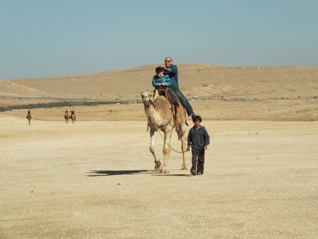
Conflicting interests amongst different stakeholder groups regarding land use challenge the protection of natural values in socio-ecological systems (SES). In this paper we show, based on a case study of Israel’s Makhteshim Country National Park, how mapping the different interests and analyzing the data with a GIS system allows us to locate significant conflict points between groups. Semi-structured interviews were conducted with 60 individuals from three major stakeholder groups in the region: semi-nomadic Bedouins, nature reserve rangers, and tourist operators. The qualitative findings were then mapped by a GIS platform. The mapping indicated that the stakeholder groups’ land-use is distributed in a manner that makes conflict unavoidable, but relatively limited to only certain specific areas. Moreover, in some areas, the three groups share similar or complementary values, reaping mutual benefits from shared use. We conclude that GIS mapping can serve as a powerful tool for conflict management in complex SES.
Keywords: conflict resolution; GIS; landscape-values; land-use; social-ecological systems